A topographical survey of your site’s levels, trees and boundaries
Get an accurate plan of your land, its levels and features before design starts, whether you’re building a home, developing a plot or reshaping a garden. Compare quotes from land surveyors.
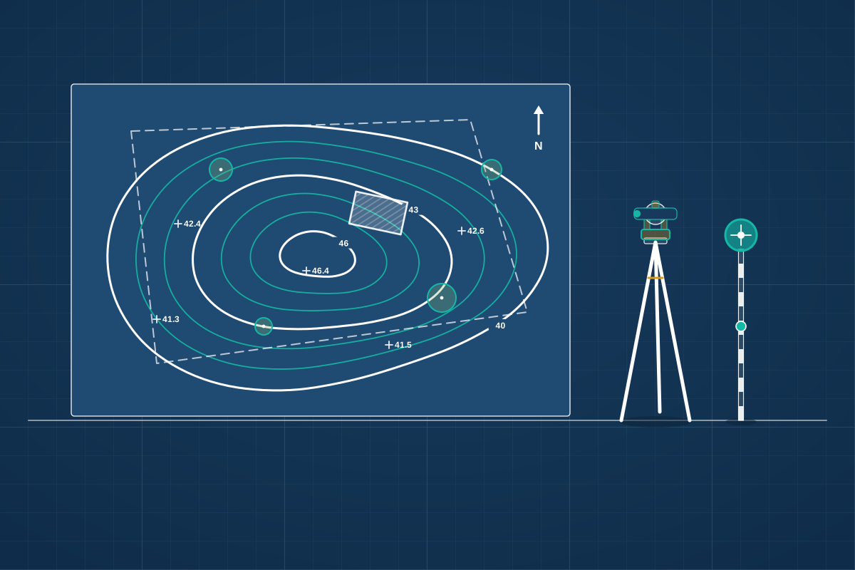
A topographical survey measures the shape and features of a site: ground levels and contours, buildings and their heights, boundary walls and fences, trees, paths, kerbs, manhole covers and other visible services, and often the neighbouring buildings and windows a design has to respect. Designers need one before drawing a new home, a plot development, a sloping garden, a large extension or a landscape scheme, and it feeds directly into drainage, flood risk and highways work. A good surveyor agrees the extent and detail in advance, ties levels to Ordnance Datum, or Northern Ireland’s equivalent, where the project needs it, and delivers a clean, layered CAD drawing your designer can work on directly.
How a professional can help
- Levels and contours: Recording spot levels across the site and producing contours, so designers can plan floor levels, steps, retaining walls, drainage falls and level access.
- Buildings and neighbouring features: Measuring the outline, eaves and ridge heights of buildings on and next to the site, plus neighbouring windows facing the plot, for design and overlooking checks.
- Trees and landscape: Plotting trees with their positions, heights, trunk sizes and canopy spreads, ready for a tree survey, along with hedges, walls and planted areas.
- Visible services and drainage: Locating manholes, gullies, poles, lamp posts and inspection covers, and lifting covers where possible to record pipe depths and directions of flow.
- Buried utility tracing: Arranging a separate utility survey with cable detection and ground-penetrating radar, where buried pipes and cables could affect the design or excavation.
- Drawings in the format you need: Delivering CAD drawings and PDFs on a grid and level datum that suit the project, with layers your designer and engineers can use straight away.
Is this right for you?
- You’re planning a new house, plot development or replacement dwelling and need an accurate base plan.
- Your site slopes and the design depends on getting floor levels, steps and drainage right.
- Your council, flood risk assessor or engineer has asked for levels related to Ordnance Datum.
- You need trees, boundary features and neighbouring buildings accurately plotted before a planning application.
How the project usually runs
- Agree the brief: You and the surveyor agree the survey area, the level of detail, what’s included beyond the boundary, the level datum and the drawing format.
- Site work: The surveyor sets up control points and measures the site with a total station, satellite positioning equipment, a laser scanner or a drone, depending on the site and detail needed.
- Processing and drafting: Measurements are processed into a scaled CAD drawing showing levels, contours, features and notes, checked against the control points for accuracy.
- Delivery and queries: You receive the drawings and any 3D model or point cloud, and the surveyor answers questions or adds detail if your designer needs more information.
- Setting out the build: Later in the project, the same surveyor can use the control points to set out the new building on site from the approved drawings.
What affects the cost
- The size of the site and how many features it has, such as trees, walls and changes in level.
- The level of detail needed, from basic levels to building elevations and roof heights.
- Access, vegetation and terrain, and whether neighbouring land also needs surveying.
- Whether a drone, laser scanning or a buried utility survey is required.
- The outputs needed, such as 3D models, point clouds or particular CAD formats.
Surveys, boundaries and approvals
- Councils need accurate site plans for planning applications, and levels matter on sloping sites where height and overlooking are judged.
- A topographical survey records physical features but doesn’t decide legal boundaries, which depend on title documents and may need specialist advice.
- Flood risk assessments and drainage designs often need levels related to Ordnance Datum, so ask for this from the start.
- Drone flights must follow Civil Aviation Authority rules, and surveyors need permission before going onto neighbouring land.
Questions people ask
What’s the difference between a topographical survey and a measured building survey?
A topographical survey maps the land: levels, boundary features, trees and external details, plus the outlines and heights of buildings. A measured building survey records the inside of a building in detail, with floor plans, sections and elevations. Many projects need both, and some surveyors provide them together.
Will the survey show my legal boundary?
It shows exactly where physical features such as fences, walls and hedges are, which is useful evidence, but it doesn’t fix the legal boundary. Registered title plans in England and Wales are rarely precise enough to settle exactly where a boundary runs, so if it’s unclear or disputed, take specialist advice.
What is Ordnance Datum?
It’s the reference used for heights above mean sea level on national mapping in Great Britain; Northern Ireland uses its own datum. Tying a survey to it means levels can be compared with flood maps, sewer records and other surveys. Small projects sometimes use a local datum instead, which is fine if the levels don’t need to match other information.
Does a topographical survey show underground pipes and cables?
Only what’s visible at the surface, such as manhole covers and inspection chambers, with pipe depths where covers can be lifted. Buried pipes and cables need a separate utility survey using detection equipment and ground-penetrating radar, which is worth considering before digging foundations or drainage.
Do I need a topographical survey for an extension?
Not always. For a small extension in a level garden, a measured survey of the house may be enough. On sloping sites, near trees or boundaries, or where drainage and levels are tricky, a topographical survey helps avoid surprises once building starts.
Can a drone be used to survey my site?
Drones are useful for large or hard-to-reach sites, roofs and photo-based 3D models. They’re usually combined with ground measurements for accuracy, and flights must follow Civil Aviation Authority rules and respect neighbours’ privacy. They’re less useful under tree cover, where ground surveying is still needed.
Available across the UK
Professionals cover the whole of the UK: England, Scotland, Wales and Northern Ireland. Planning and Building Regulations differ between the four nations, and your professional will work to the rules that apply where your property is.
- Get free quotes
- Measured Building Surveys
- Infill and Garden Plot Development
- New Build Houses
- Flood Risk Assessments
- Arboricultural Reports
- Build-over Applications
- Building Surveying
- Daylight and Sunlight Assessments
- Drainage Design
- Ecology and Bat Surveys
- Energy Assessments
- Fire Strategy
- All services
- Find your area